Deploying a SageMaker Geospatial example
In this section, we will stand up a SageMaker Geospatial ML environment and perform a simple Earth Observation job (EOJ) to monitor the amount of water present in satellite imagery of water bodies. EOJs are useful when the desired outcome is to acquire and transform data from the surface of our planet to make predictions – in this case, regarding water presence in a given area.
There is a one-time environment setup for SageMaker that can be accomplished with the following steps. However, if you already have a SageMaker domain configured, you can leverage the geospatial capabilities from there.
Note
At the time of this book’s writing, geospatial capabilities are only released for SageMaker in the Oregon (us-west-2) Region.
First-time use steps
We will use the following steps:
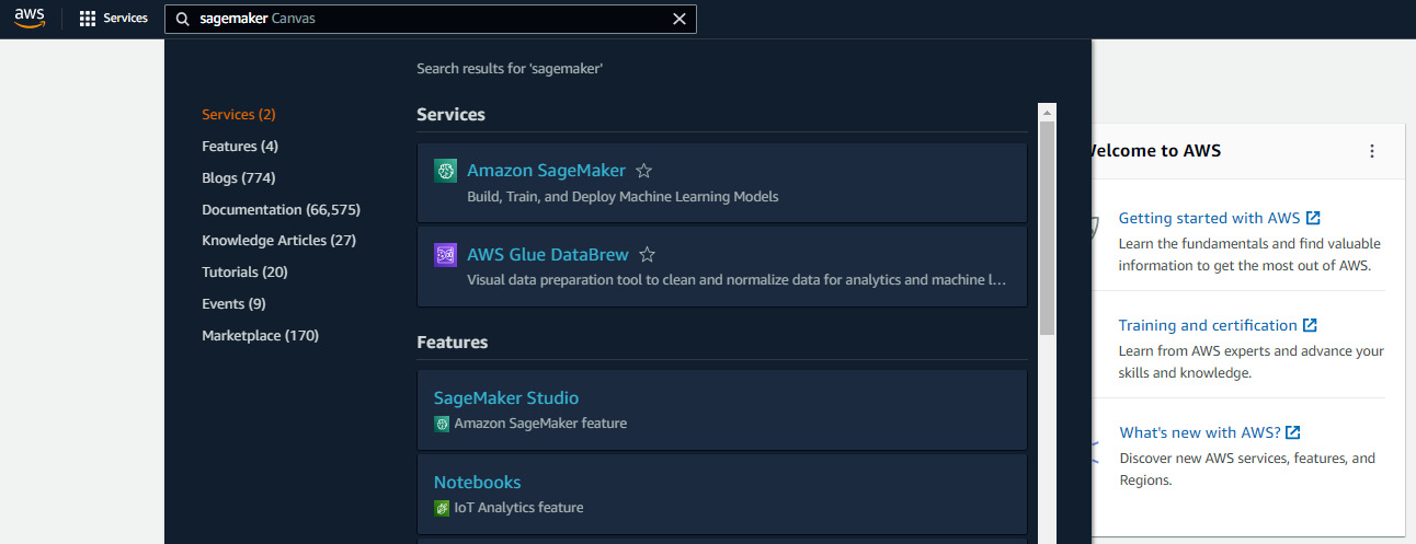
- Navigate to SageMaker from the AWS Console:

Figure 11.4: AWS Console with SageMaker typed into the top...


